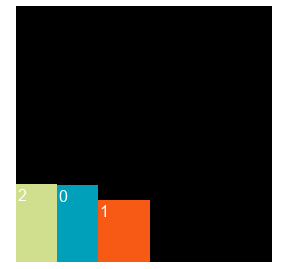
I am trying to make a dynamic atlas from images on disk but failing horribly, I have been asking about this on the Discord but I think it’s time to make a forum post about it as I am clearly not smart enough to figure this out!
I start out with collecting the width and height of my images when loading it and saving that in a table also name and the actual buffer.
I then iterate over that and do my thing.
 -- this returns our table with all our needed data.
local pack_data = get_package_data()


local atlas_creation_params = {
	width  = 1024,  -- desired width and height of our atlas
	height = 1024,
	type   = resource.TEXTURE_TYPE_2D,
	format = resource.TEXTURE_FORMAT_RGBA,
}
local texture_id = resource.create_texture("my_atlas_name.texturec", atlas_creation_params)

-- Here we will store our data that we need when setting up the atlas data
local atlas_params = {texture="my_atlas_name.texturec", animations={}, geometries={}}

for i in pairs(pack_data) do
	local img = pack_data[i]
	local set_params = {width=img.w, height=img.h, x=img.w, y= img.y, type=resource.TEXTURE_TYPE_2D, format=resource.TEXTURE_FORMAT_RGBA}
	resource.set_texture(texture_id, set_params, img.buffer)

	-- We add this image data to our atlas parameters
	atlas_params = get_atlas_parameters(img, atlas_params)
end

-- Finally we create the atlas set
resource.create_atlas("my_atlas_name.texturesetc", atlas_params)
I have tried a lot o things for the atlas parameters
local function get_atlas_parameters(image, atlas_params)
	-- Do we need to increment the indices depending on how many images we got?
	local indices =  {0,1,2,0,2,3}

	table.insert(atlas_params.animations, {
		id          = image.name,
		width       = image.w,
		height      = image.h,
		frame_start = 1,
		frame_end   = 2,
	})
	table.insert(atlas_params.geometries, {
		-- Have also tried to have these be "local" in all combinations
		vertices  = {
			0,   0,
			0,   image.h,
			image.w, image.h,
			image.w, 0
		},
		uvs = {
			image.x,   image.y,
			image.x,   image.y + image.h,
			image.x + image.w, image.y + image.h,
			image.x + image.w, image.y
		},
		indices = indices
	})
	return atlas_params
end
I calculate the x and y in a different location but it’s just putting them on a row.
This doesn’t work for me, I know that the textures are loaded fine because if I only load one image and set the atlas_creation_params width and height to be the same as the image it shows. But if i increase them to a bigger value the image will eventually disappear, making me believe that the atlas lookup and position on the atlas are not correct but I can’t figure out why.
Can anyone see something obvious that’s wrong here?


