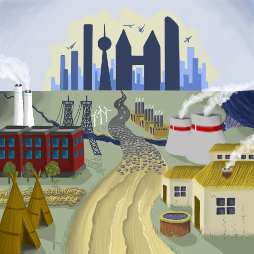
Hello forum. Today I want to show a new game that I am developing. I created this topic in Dev diaries because I want to share some interesting points from the development.
This is also a turn-based strategy, like my first game. I really love this genre of games
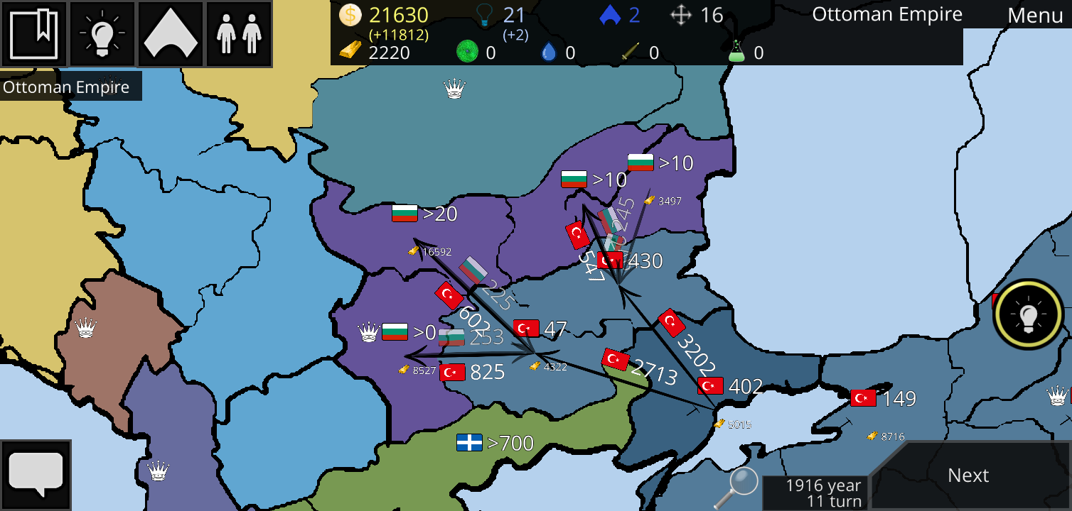
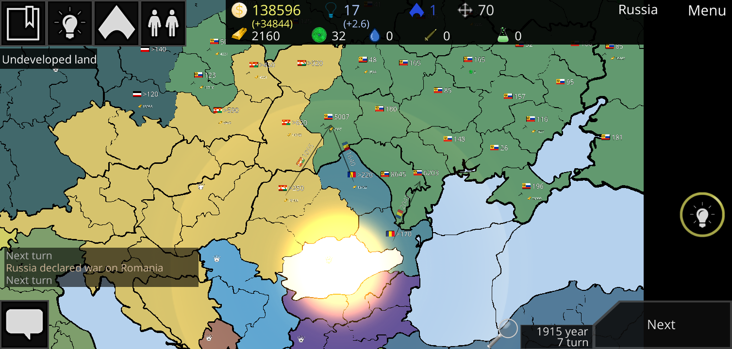
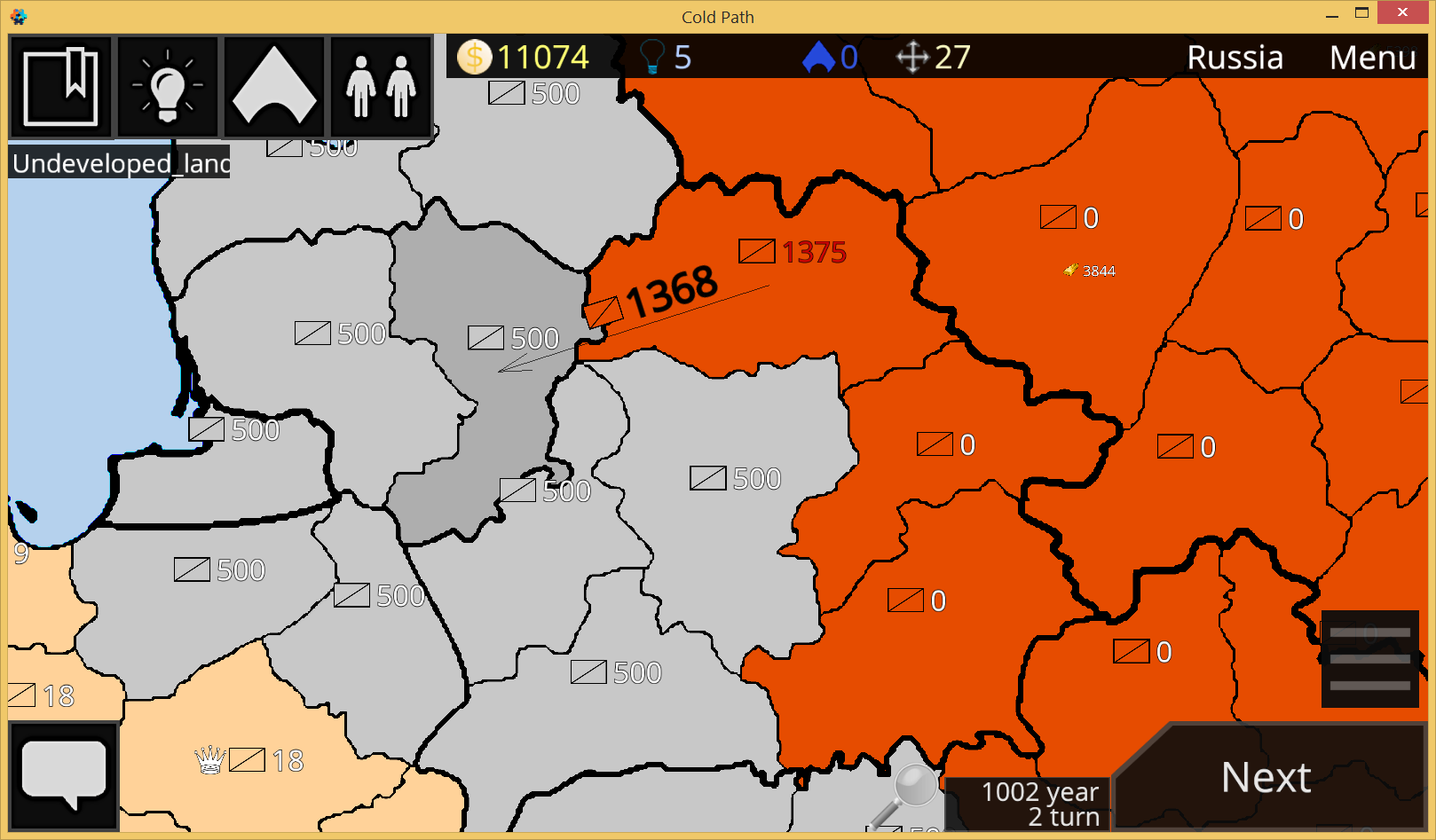
Resources. You need uranium to operate a nuclear reactor.
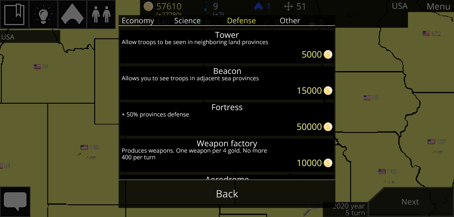
Buildings. For example, a tower allows you to see army in neighboring provinces
Skills. Political institutions were replaced by skills. The number of skills is limited, so you need to choose them for your style of play.
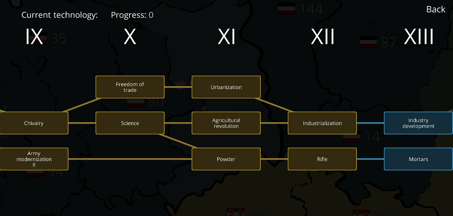
Over 50 technologies from taxes to a fusion reactor.
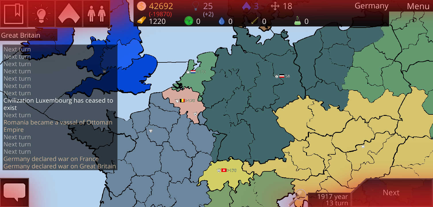
Vassality. You can make another country a vassal, and it will play to your advantage. Instead of losing, you too can become a vassal and declare independence at the right time.
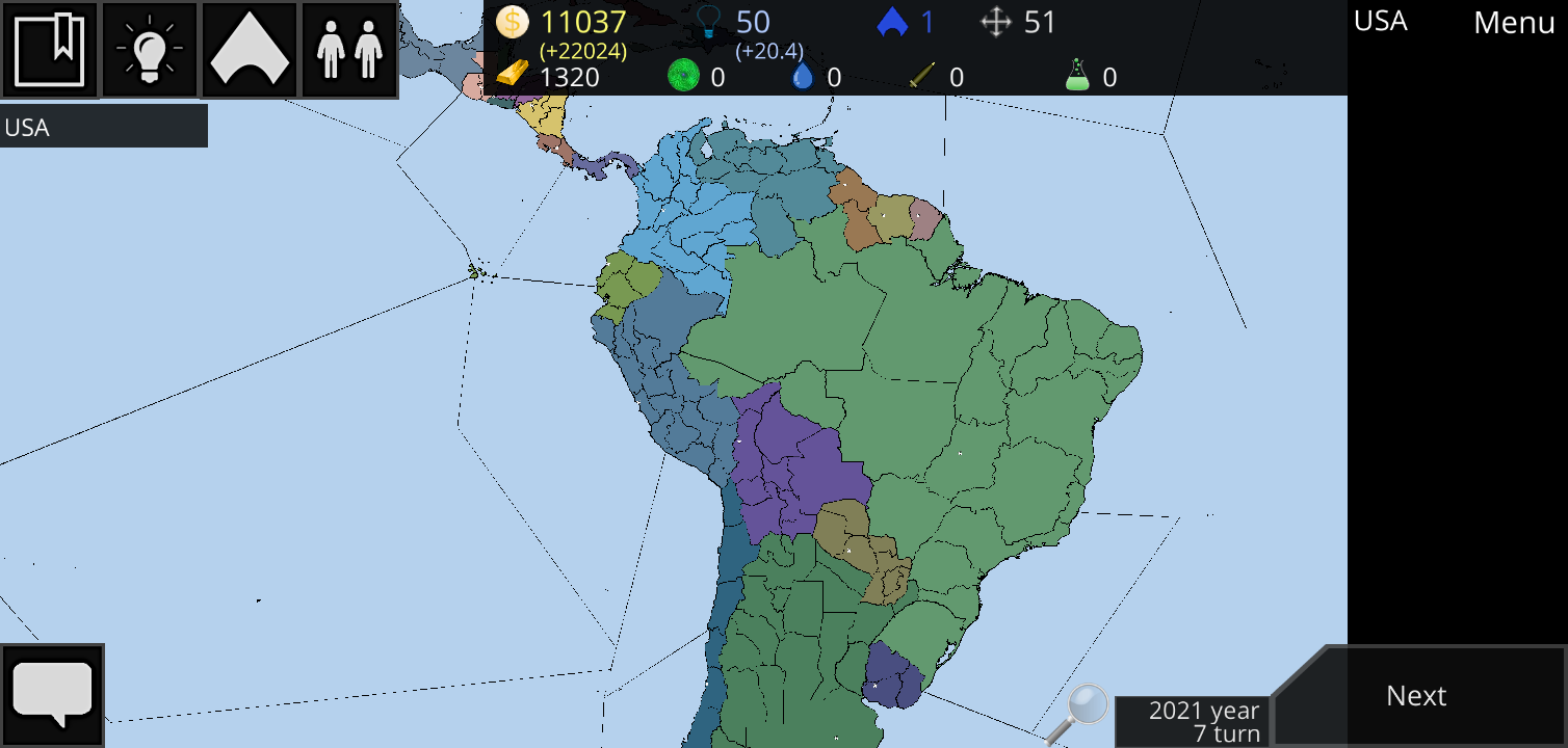
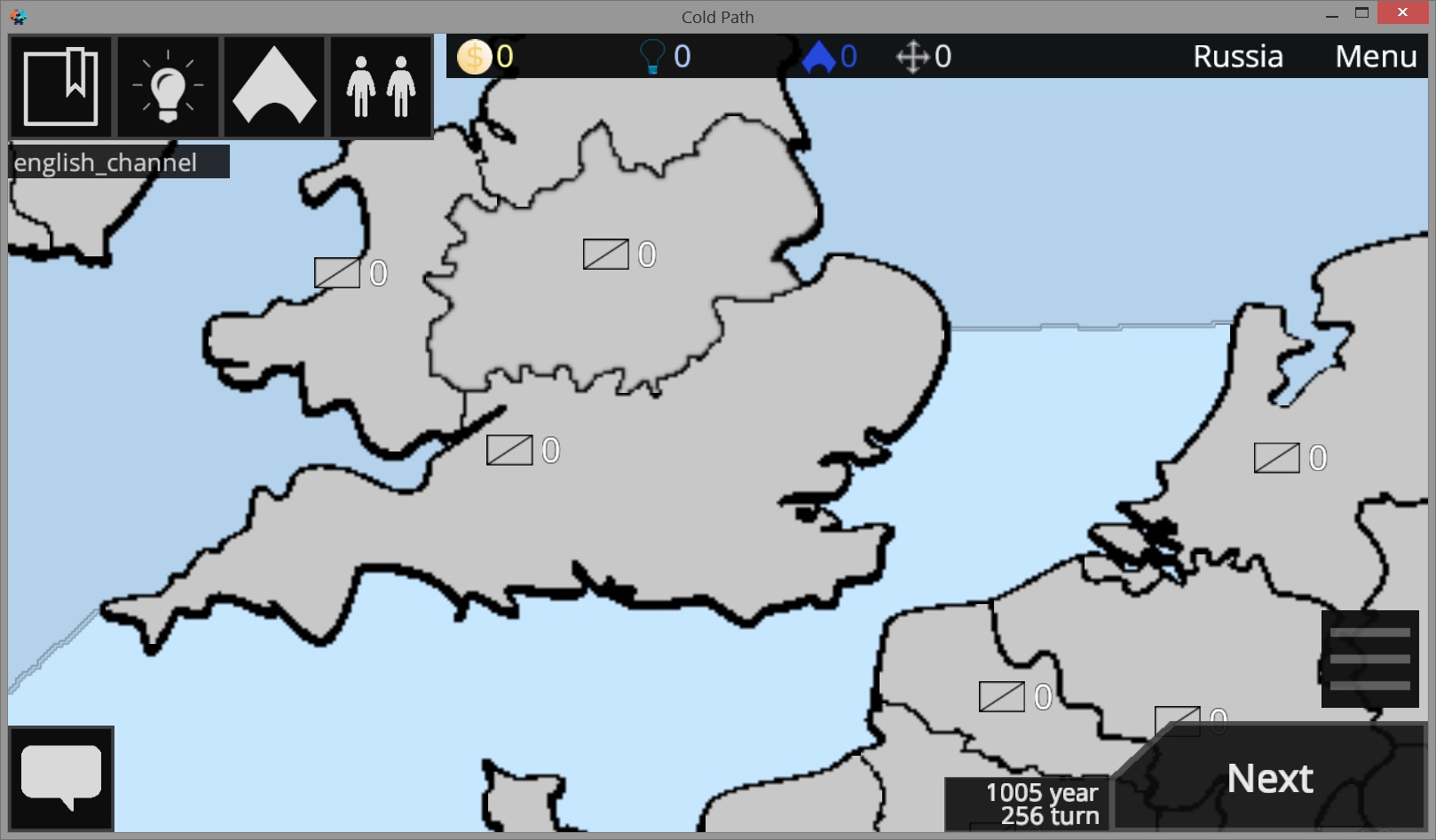
Seas. You can move around the water provinces
Various other changes, both in architecture and in general.
Multiplayer is based on modified version of DefNet. The core of the game can be copied and with a couple of changes the server can be launched outside the game client.
The game client for network-dependent actions accesses the network table, which stores various functions, depending on what game mode is currently.
Something like:
network.war(land1, land2)
Different actions are performed depending on the game mode:
Single - do something
Client - send data to server
Server - do something and send data to clients
Interface is one. The server also supports various plugins. So I write logic in them. For example, a chat plugin create and attribute messages. Plugin system allows kick players. Plugins are completely independent of each other. They can register commands, also have a common space. That is, the chat plugin makes the chat feature publicly available to all plugins. And the kick plugin can use it to create message that someone was kicked from the game
To search for local games, I wrote two modules that use UDP.
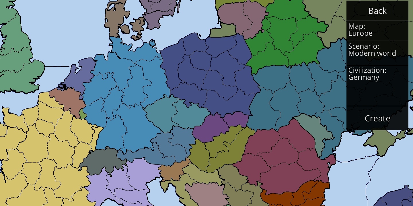
Yes. Greece is on the map and will be available in some scenarios.
I will add a scenario editor later. It will be possible to create any countries and customize them.
I plan to add a lot of maps and scenarios to the game
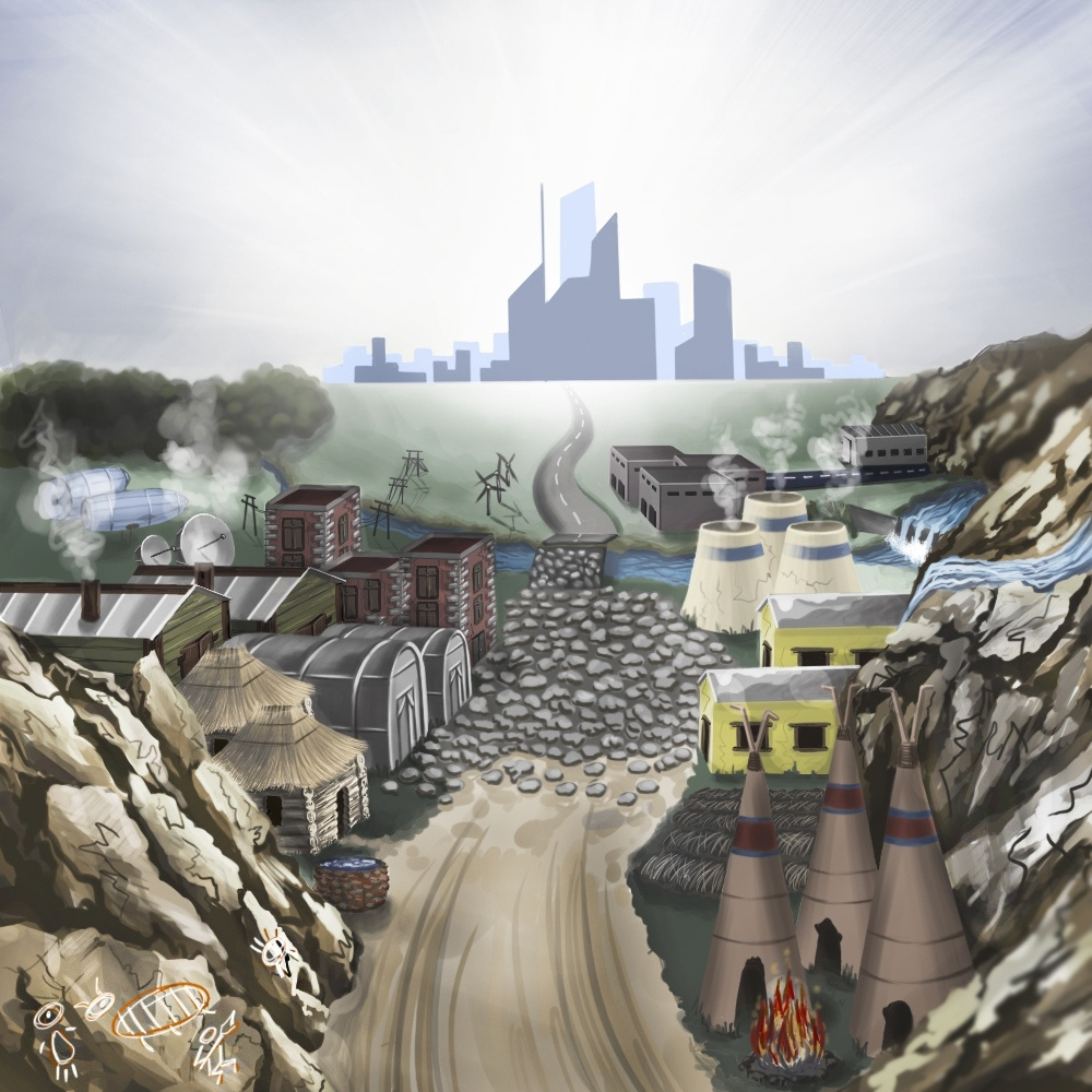
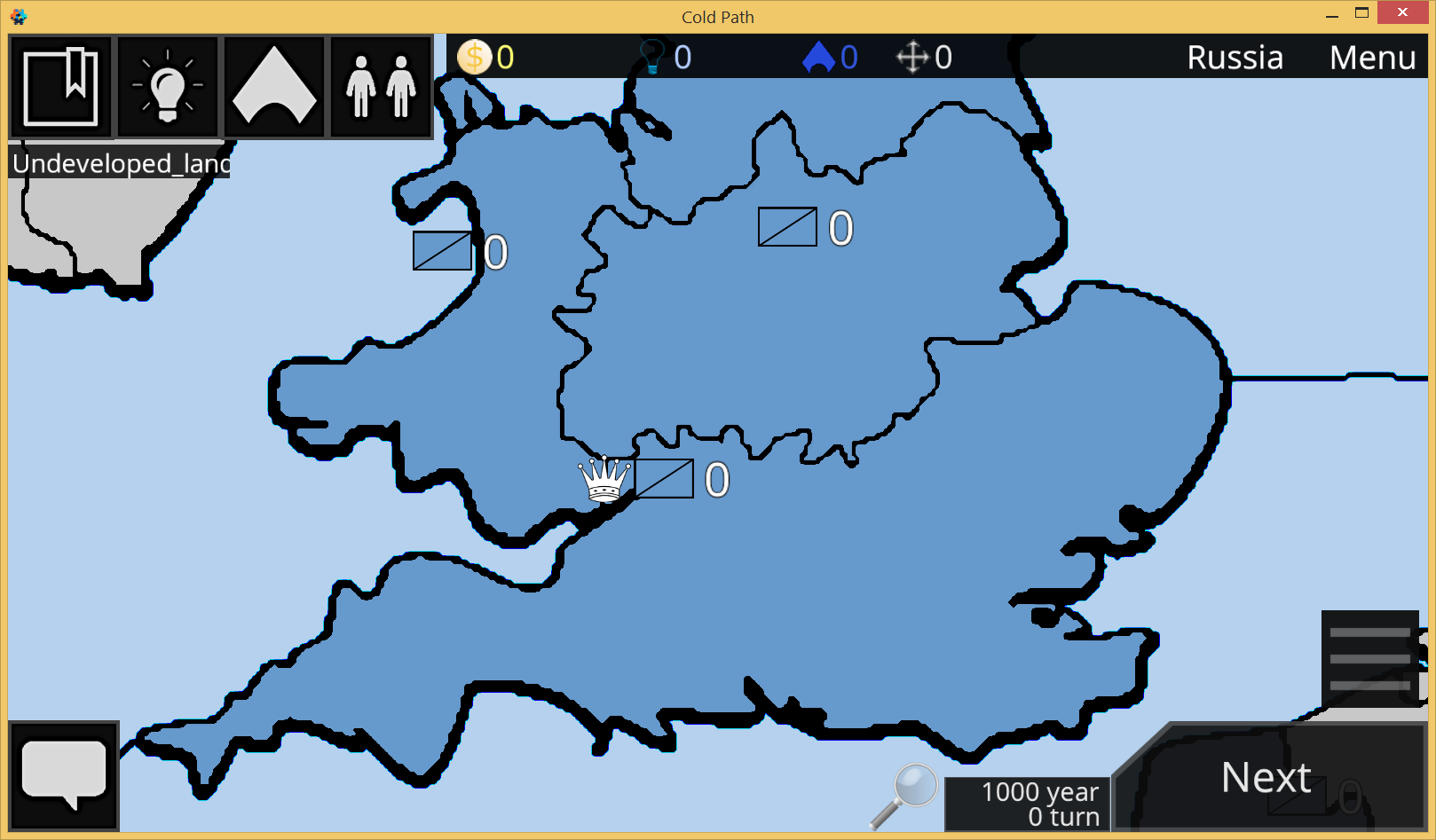
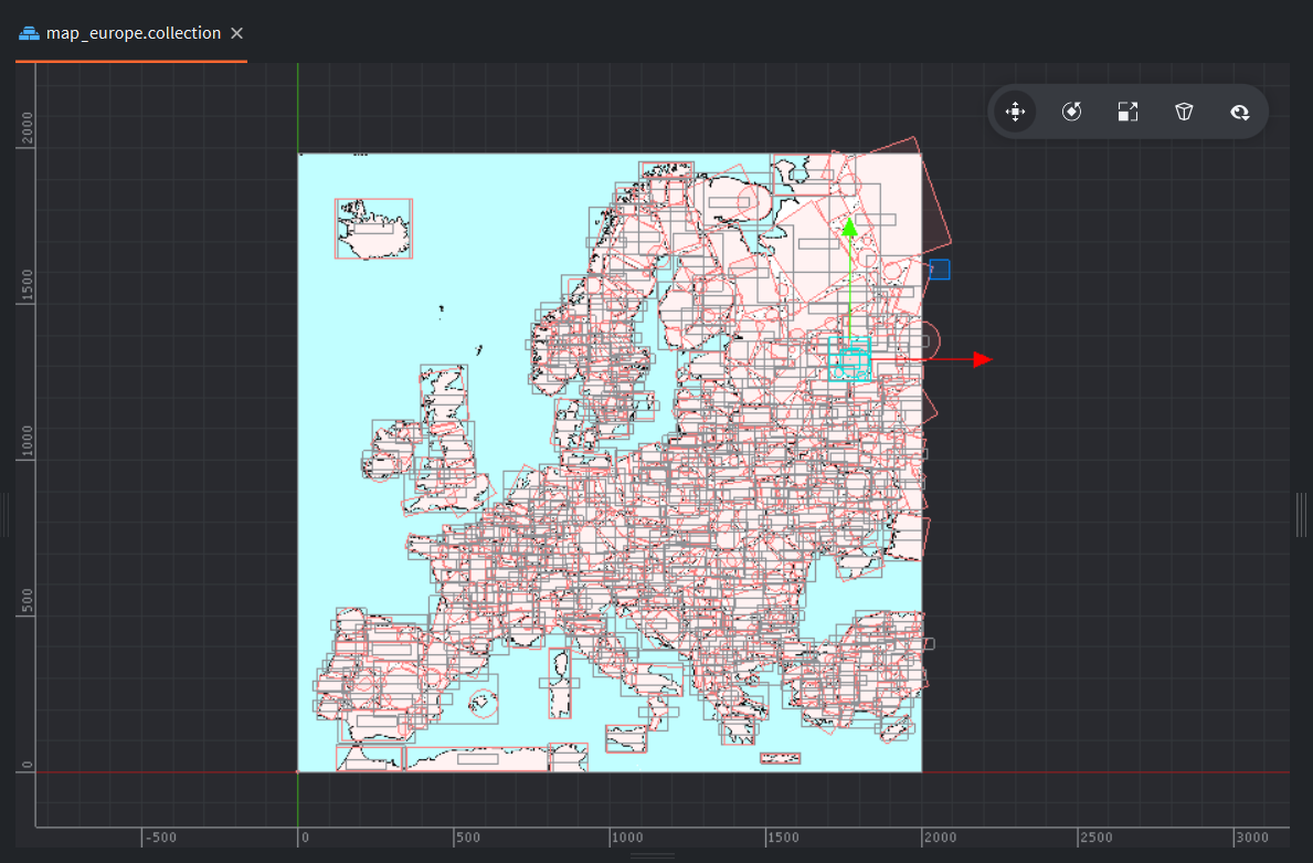
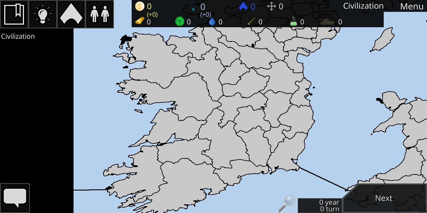
I copied the map of Europe from Civilization Path and added the sea.
There are a some of interesting points about working with the map, I will write about them later in this topic.
Hello, everyone! A month ago I promised to write about various interesting things with the map in my opinion. Well the time has come.
Provinces quality
I just have to say thank you to @Pkeod
My first idea to apply this method was: make NE that blurs the image and set material with contrast shader. Then I realized that writing an algorithm for blurring is not the most pleasant thing. I also realized that processing for each image at runtime is terrible for performance.
I forgot about it for a while, but I remembered it during the development of a new game.
Now I pre-blur the images with a third party editor and then apply shader:
The screenshots were made at different times, so they have a different scale. In the case of distance fields, it is even larger.
I think the difference is obvious
ImageTransparencyCalculator
The name is really incomprehensible, I guess I should have thought a little longer.
How did I handle the click?
I used collisions in Civilization Path. Creating collisions that repeat the contours of the provinces is a pain. It takes a lot of time, and no matter how hard you try, the result will not be perfect.
At first I started using Convex hull shapes that were automatically generated from the image by a third-party editor. The result was better, and most importantly - faster.
Later in the Russian Telegram, there was a talk about click tracking and the idea of tracking a click using a color change and a render script came up. I tried to implement this but no success. In general, I doubt that this is possible in Defold.
I got inspired by this method and wrote a native extension. How it works:
The native extension takes the image data as input and rebuilds the buffer, leaving only the transparency data in it.
The resulting monochrome image can be reduced in NE. In this case, the accuracy drops, but the size of the generated file also decreases. This is just in case someone doesn’t want perfect accuracy.
Further, the file data is compressed by zlib.
And already on the basis of this data, the lua module calculates whether the transparent area was clicked.
I’m glad now I can perfectly track the click, and everything is automated.
I will also be glad if this is also useful to someone and saves time. I know that @russelkgd changed it for GUI. That’s cool.
Various dynamic objects
They are created using game object factories. From flags to nuclear explosions.
Performance is very important. Therefore, some objects are not always shown. Objects outside the camera are disabled.
I still use msg.post(“@render:”, “draw_line”) for lines, although I know it’s not good. I will definitely experiment with this. Maybe even the distance fields will try again
It’s a sad that there is no slice 9 for sprites. I think this would be one of the solutions.
Anyway, thanks again for that extension. I will probably contribute gui version to your repository, but i need to change there something to allow more straightforward approach to it, because right now is adapted for my specific gui scene, which is not good. So maybe one day)
Hello!
Today the game is released in Google Play
I will be very happy if some of you download or even play multiplayer with me
The multiplayer is made by an internal purchase with server-side verification, so in order to play it, you need to use one of the promotional codes
Congrats @Denis_Makhortov !!! wish you the best . I could understand where i must put the promo, I press at join to connect direct at official 2 and show me chile but not sure if I was playing. thanks
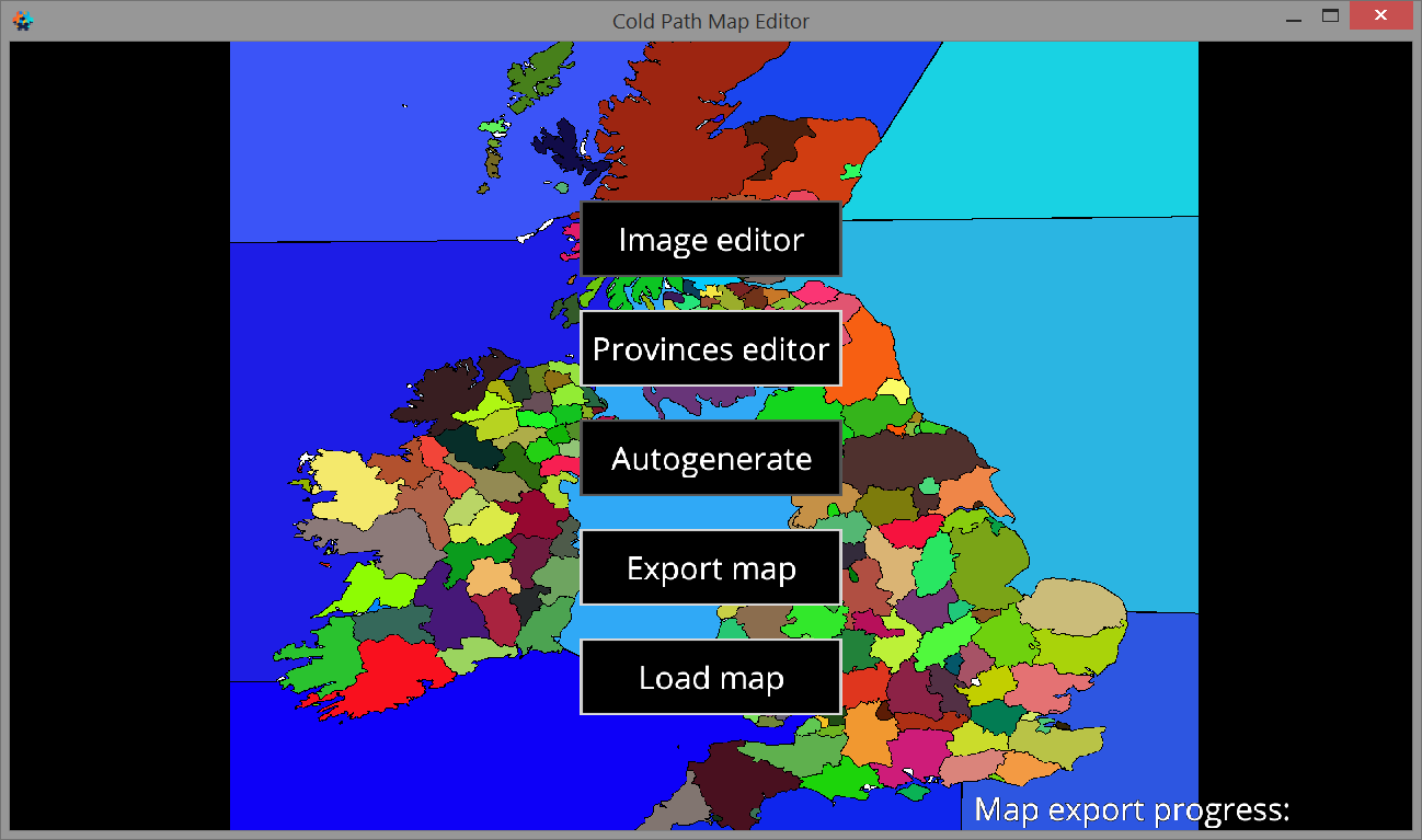
Hello! I have developed Map Editor for this game. This is very cool, now players can create their own maps and load them into the game!
I created it in January, and now I remembered that it would be cool to share some information about creating, because I believe that the code used in it for loading textures may be useful to someone.
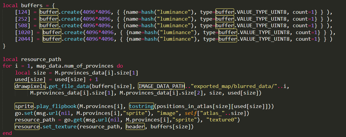
All work with images is based on DrawPixels module, in which I added the code needed for the Map Editor.
About map creating
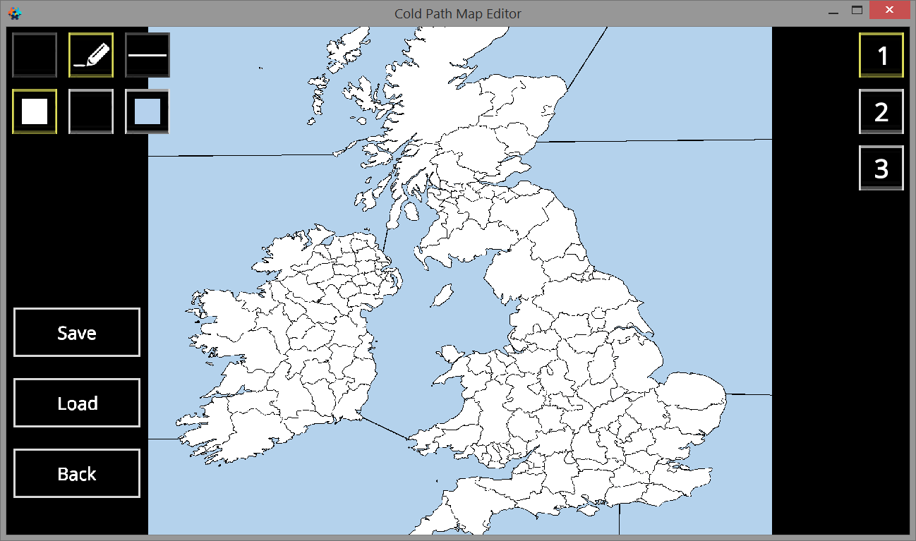
User prepares some image
User can modify map image. I only recommend doing this for small changes. Functionality of image editor is small and inconvenient
When the user clicks on the “Autogenerate” button, the algorithm automatically colors the map so that each province has a unique color
more about what happens when the export button is pressed
The image is blurred. Blur is needed for the effect of distance fields
The minimum possible texture size is selected for each province. The province image data is adjusted to the texture size and saved
Data of each province is saved for click tracking using this module
Information about each province is generated (size, position and information about whether it is water)
Data is generated about which provinces are neighboring (so that player can move from one to another)
A scenario is created for this map. It can be opened in the Scenario Editor to make cool scenario
About loading in game
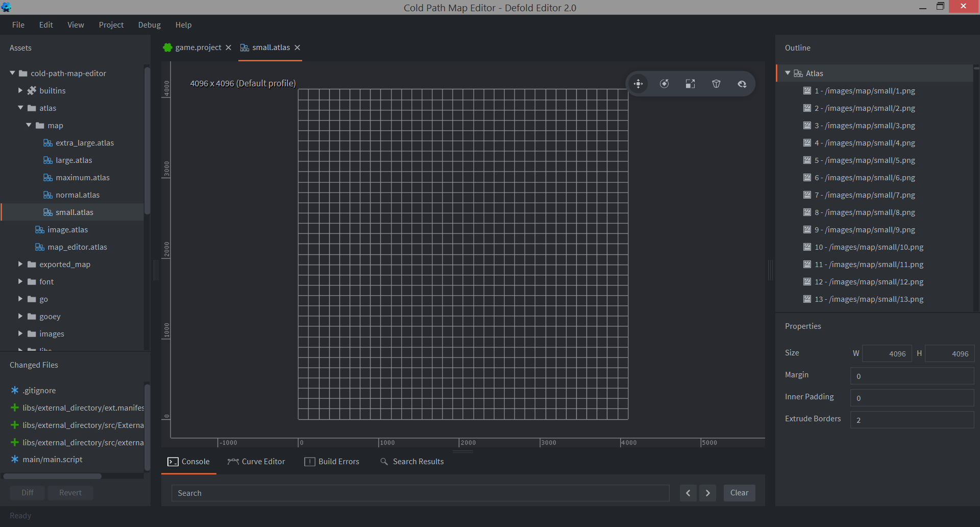
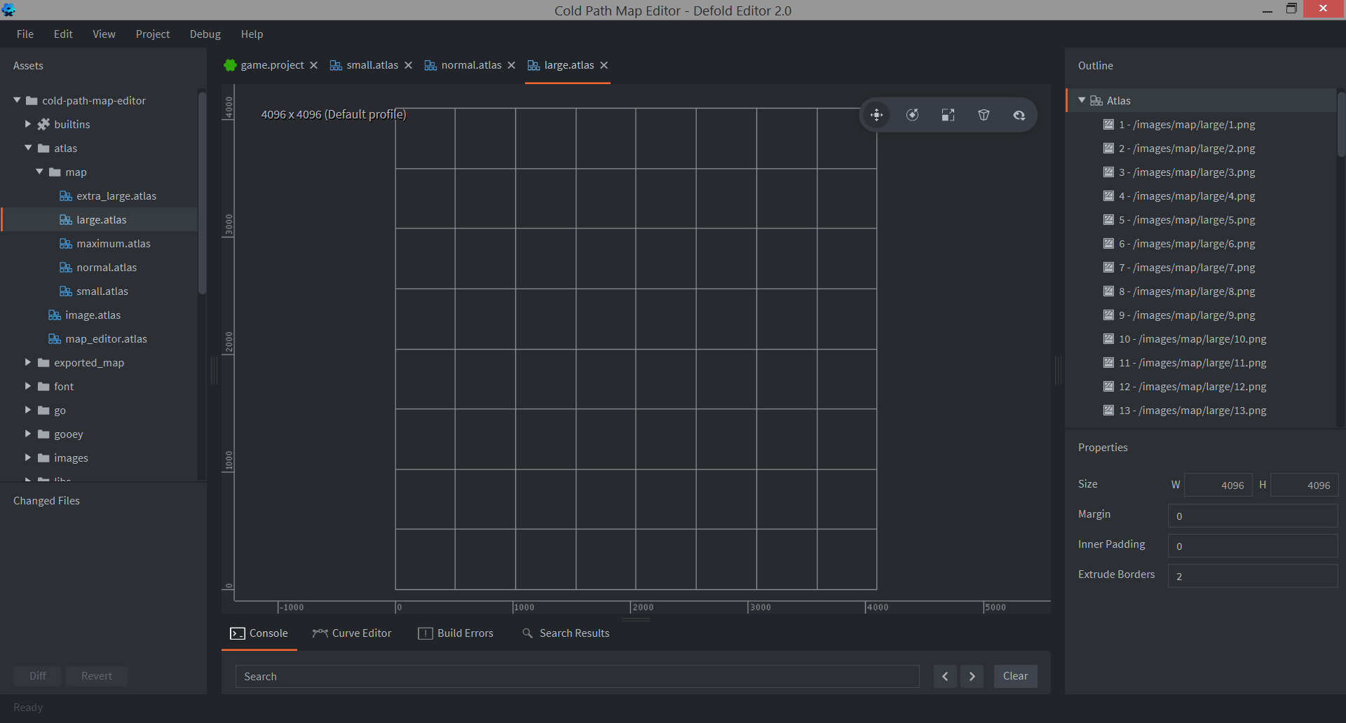
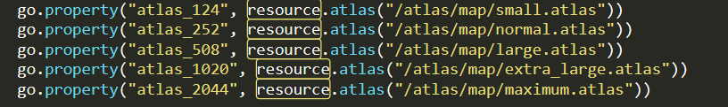
There is several atlases with prepared textures. The sizes of the images in them are different, because the game can have provinces of very different sizes
When loading a map, this data is loaded: province texture, click tracking data, center offset (user can customize province center in map editor), province data
The map editor is currently unfinished and not beautiful, but it is fully working.
I also added the ability to convert maps to in-game format. One fully working map has already been created in the map editor and moved to the game client.